En memoria de Carolina Saldaña
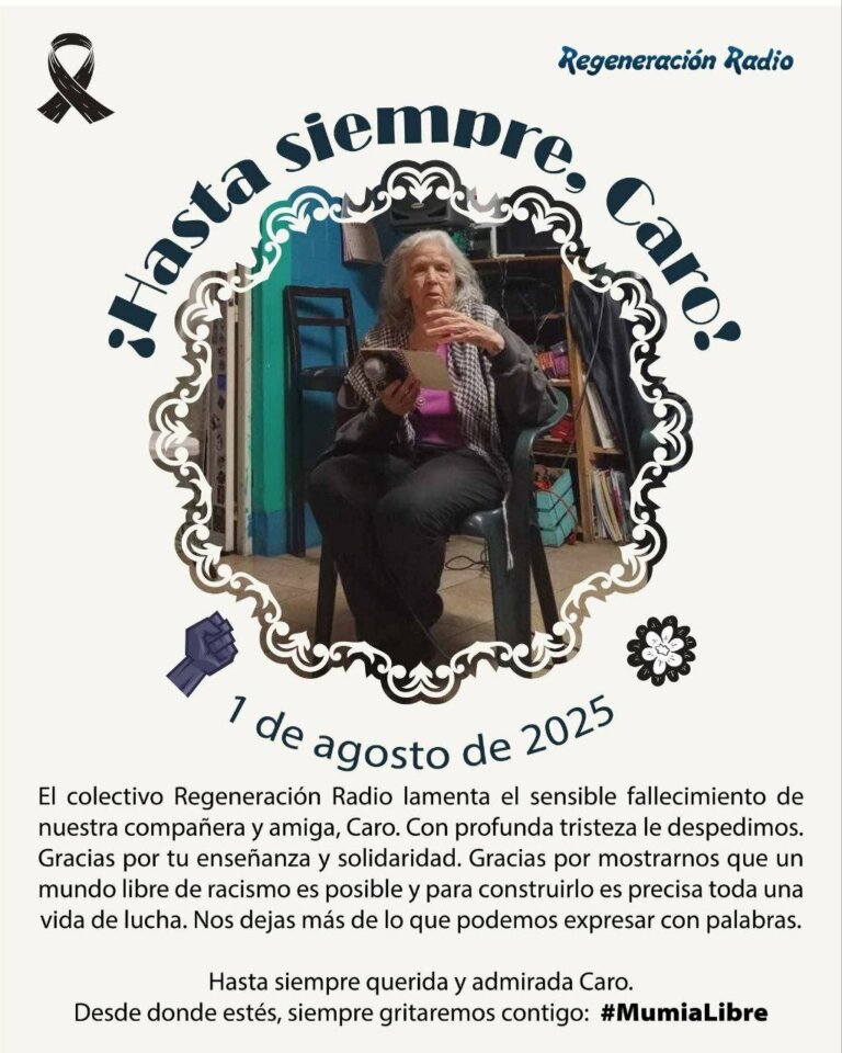
Carolina era verdaderamente una fuerza, guiada por un compromiso y una pasión por la solidaridad y la libertad que impulsaron su trabajo a lo largo de los años en los que tuve el honor de conocerla.
Un medio libre bilingue por, sobre, y para los movimientos sociales en México y más allá
Un medio libre bilingue por, sobre, y para los movimientos sociales en México y más allá
Carolina era verdaderamente una fuerza, guiada por un compromiso y una pasión por la solidaridad y la libertad que impulsaron su trabajo a lo largo de los años en los que tuve el honor de conocerla.
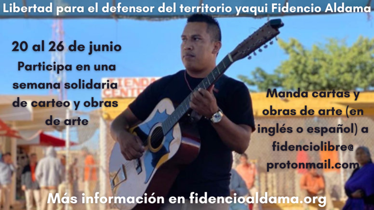
En solidaridad con Fidencio y la lucha de su comunidad de Loma de Bácum, el grupo de apoyo a Fidencio Aldama está haciendo una llamada para una semana de carteo y creación artística del 20 al 26 de junio de 2021.

En tiempos de exterminio, ecocidio y genocidio, en tiempos de muerte impuesta, nos organizamos.

Mujeres mazatecas se plantaron frente al Consejo de la Judicatura Federal en la Ciudad de México para exigir que sus familiares sean liberados tras siete años de prisión.

El gasoducto ya era cosa consumada, o eso consideraban la empresa, la filial y el gobierno de Sonora. Se equivocaron. Las mujeres yaquis narran cómo frenaron este proyecto.
Hace ya cuatro años, nuestro compañero indígena yaqui, Fidencio Aldama Pérez, fue arrestado por el gobierno mexicano, acusado de asesinato sin un ápice de evidencia, acarreado a lo largo del sistema de justicia, y sentenciado a quince años y medio de prisión.
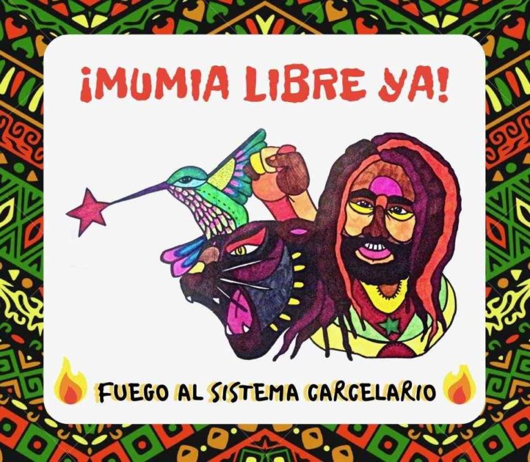
Manifestantes en Filadelfia y otras ciudades exigen libertad para Mumia Abu-Jamal AHORA

El 8 de Marzo, Día Internacional de la Mujer, activistas llaman al fin de feminicidio.

Desde hace más de 30 años nace en la ciudad de México, la Brigada Callejera. Su labor principalmente se enfoca en aportar y contribuir a la organización autónoma de las trabajadorxs sexuales y abolir los problemas estructurales que llevan a la explotación del trabajo sexual.